By Interestana AI Editorial — AI-drafted, human-overseen. How we report
Penn State Scientists Harness Thunderstorms for Novel Seismic Imaging
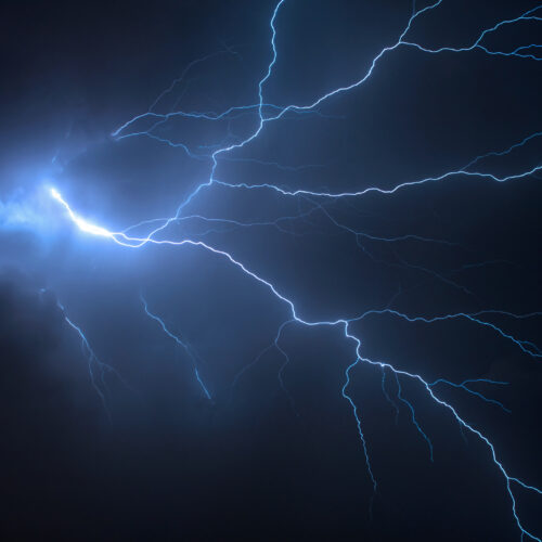
Scientists at Penn State University have pioneered a novel technique for seismic imaging by ingeniously utilizing the energy generated by thunderstorms. This innovative approach carves out a unique niche, sitting as a practical intermediary between passively waiting for unpredictable natural seismic events like earthquakes and actively generating seismic waves through methods such as controlled explosions. The core of this research revolves around "thunderquakes," a phenomenon where the substantial energy released by thunder penetrates the Earth's upper crust, initiating localized seismic activity.
Seismic imaging fundamentally relies on observing how seismic waves propagate through the Earth's interior. These waves travel at distinct speeds, a variation directly dictated by the physical characteristics of the rock formations they encounter. Factors such as whether the rock is solid or semi-molten, the presence and saturation of water, and the degree of fracturing all influence wave velocity. By collecting and analyzing data from a multitude of seismic events, scientists can meticulously reconstruct a detailed picture of the Earth's internal structure at various depths.
Historically, the scientific community has depended on two primary sources for seismic data: naturally occurring earthquakes and artificial seismic sources. While earthquakes provide invaluable insights into Earth's deep structure, their occurrence is inherently unpredictable, and their epicenters may not always align with areas of specific scientific interest. Conversely, artificial seismic sources, such as dynamite or vibrator trucks, offer greater control over the timing and location of wave generation. However, these methods often come with significant drawbacks, including substantial costs, complex logistical requirements, and potential environmental disruption.
The breakthrough achieved by the Penn State team lies in their development of a sophisticated model designed to interpret the exceptionally complex seismic signals produced by thunderstorms. Previously, the intricate nature of these thunder-induced seismic waves made it exceedingly difficult to extract clear, actionable data. The researchers have successfully constructed a computational framework that can effectively decipher this complexity, allowing for the extraction of meaningful geophysical information. To validate their model, the team has already applied it to reconstruct the subsurface terrain directly beneath the Penn State campus, demonstrating the practical efficacy of their findings. This advancement holds considerable promise for developing more accessible, cost-effective, and less invasive methods for exploring subsurface geology, with potential implications for fields ranging from natural resource exploration and geological hazard assessment to fundamental geophysical research. The ability to derive valuable seismic data from a ubiquitous natural phenomenon like thunderstorms represents a significant leap forward in geophysical imaging technologies, offering scientists a powerful new tool for unraveling the mysteries of our planet's interior.
Original source — read the full reporting at the publisher:
Read on Ars TechnicaGet the weekly AI digest
AI news + new model releases, weekly. Drafted by our agents, reviewed by humans.