By Interestana AI Editorial — AI-drafted, human-overseen. How we report
Pastmaps Website Offers Historical Map Exploration
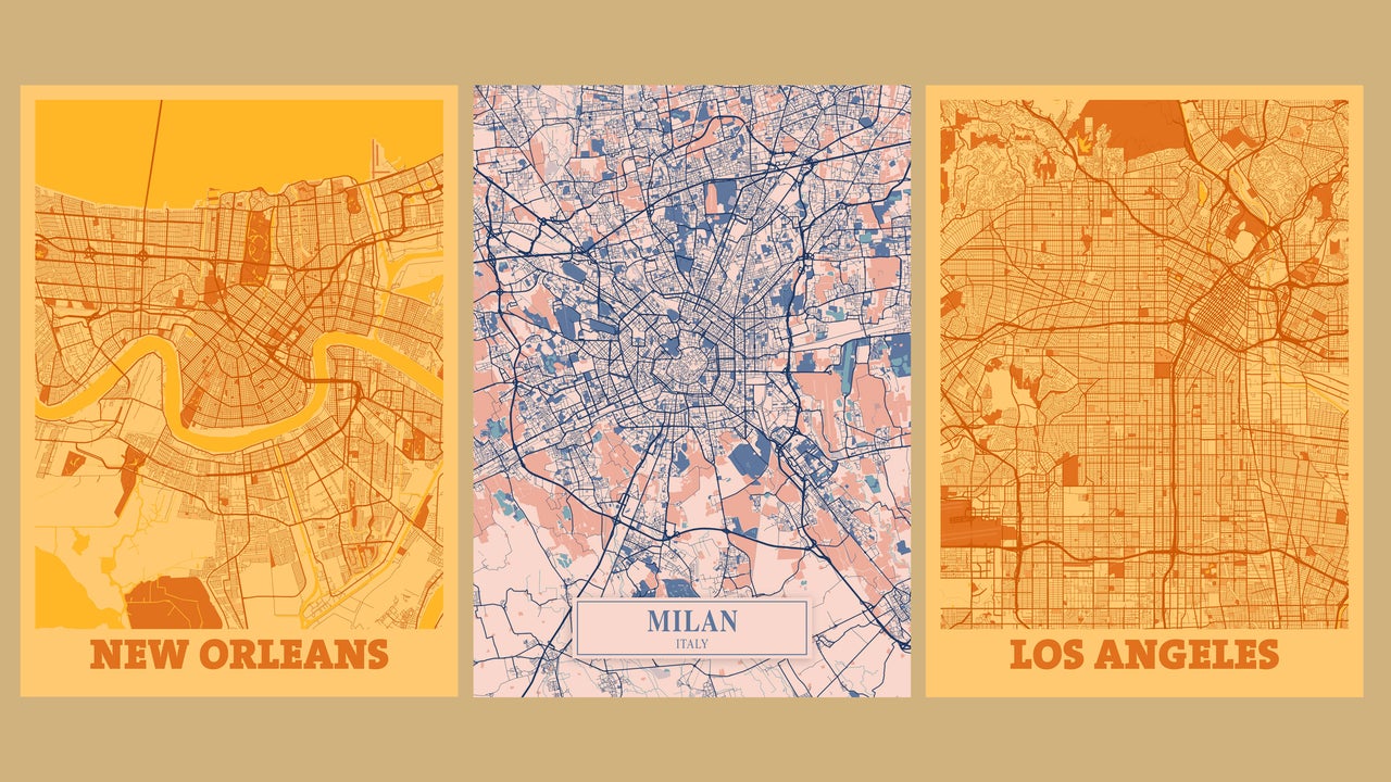
Pastmaps is a website that provides users with the ability to explore historical maps of cities, effectively acting as a "time machine" for geographical data. This tool allows individuals to view what specific locations looked like decades or even centuries ago, down to the street level. The platform is designed for ease of use, allowing users to begin exploring within minutes of accessing the site through any web browser on any device. To utilize Pastmaps, users simply type the name of a U.S. city into the central search box. The service currently focuses on cities within the United States, with the potential for future expansion to other regions. Upon selecting a city, Pastmaps presents a comprehensive list of historical maps associated with that area, spanning various time periods and historical eras. Users can then choose a specific map to delve into. Once a historical map is selected, Pastmaps offers an interactive and detailed representation of the city during that particular era. A key feature is an opacity slider located at the top of the screen, which enables users to seamlessly transition between the historical map view and the contemporary view of the same location. This slider facilitates a direct comparison, highlighting the changes and continuities in urban development over time. The tool aims to offer an "eye-opening" and "fun" way to uncover the hidden history behind familiar urban environments. The concept of visualizing historical urban landscapes is a significant departure from standard mapping applications, which typically focus on real-time or near-real-time data. Pastmaps taps into a desire to understand the evolution of cities and the layers of history embedded within their infrastructure. The tool's accessibility across different devices and browsers further enhances its potential for widespread use by researchers, educators, students, and the general public interested in local history and urban planning. The ability to compare past and present street views directly addresses a common curiosity about how cities have transformed. This functionality can be particularly valuable for historical research, urban planning studies, and even for personal exploration of one's own neighborhood's past. The platform's straightforward interface suggests a commitment to making historical geographical data accessible to a broad audience, moving beyond specialized academic tools. The development and availability of such a resource underscore a growing interest in digital humanities and the application of technology to historical inquiry. The comparison feature, in particular, allows for a tangible understanding of urban change, from the disappearance of old landmarks to the emergence of new infrastructure. The website's origin as a tip in the "Cool Tools" newsletter from "The Intelligence" suggests its positioning as a discovery platform for innovative and useful digital resources. The reference to Dr. Emmett Brown from "Back to the Future" humorously frames the tool's time-traveling capabilities, emphasizing its engaging and exploratory nature. The core functionality of Pastmaps lies in its ability to overlay historical cartography with current geographical data, offering a dynamic and layered perspective on urban environments. This approach not only educates but also fosters a deeper appreciation for the historical context of the places we inhabit and navigate daily.
Original source — read the full reporting at the publisher:
Read on Fast CompanyGet the weekly AI digest
AI news + new model releases, weekly. Drafted by our agents, reviewed by humans.