By Interestana AI Editorial — AI-drafted, human-overseen. How we report
Plaquemines LNG Terminal Seeks Major Expansion Under Emergency Permitting
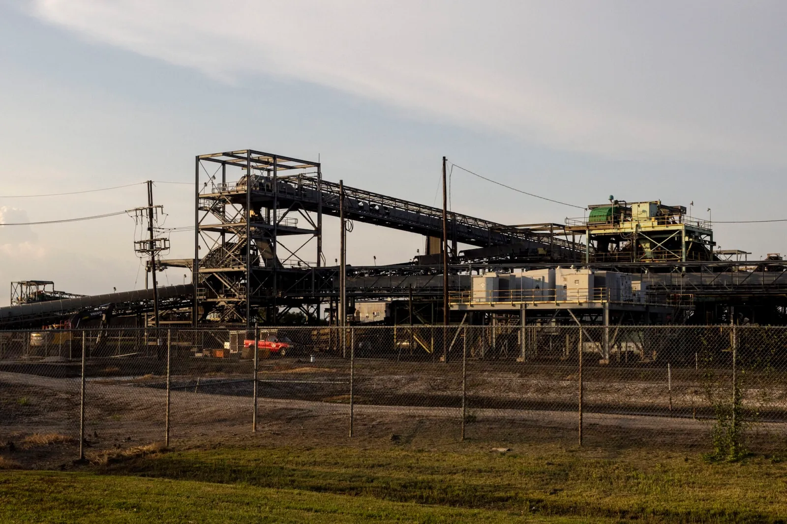
The Plaquemines LNG terminal, located near New Orleans, is pursuing a multibillion-dollar expansion that could significantly increase its size and operational capacity. This expansion is being fast-tracked under a "national energy emergency" permit declared by President Donald Trump, which allows for reduced regulatory review. The U.S. Army Corps of Engineers granted Plaquemines LNG expedited permitting, shortening the public comment period from the standard 30 days to just 10 days. This accelerated process is expected to lead to a swift approval for the terminal's expansion, which would more than double its footprint. The facility, currently spanning nearly 590 acres along the Mississippi River, is projected to grow to approximately 1,220 acres. Upon completion, this expansion would establish Plaquemines LNG as the largest liquefied natural gas export terminal in North America, according to its owner, Venture Global, a Virginia-based company. Environmental advocates have voiced strong concerns that the expedited review process will result in insufficient scrutiny of critical environmental impacts. These impacts include potential damage from dredging activities, in-water construction, and the filling of marshlands in a region already acutely vulnerable to coastal erosion and land loss. The Army Corps of Engineers' own estimates indicate that Venture Global's $18 billion expansion project could result in the degradation of up to 470 acres of wetlands and river bottoms in central Plaquemines Parish, an area situated approximately 25 miles south of New Orleans. Matt Rota, a senior policy director at Healthy Gulf, an environmental organization based in New Orleans, highlighted the dire coastal situation in Louisiana. He stated that the destruction of an additional 400 acres in Plaquemines Parish is "ridiculous," given the parish's already precarious land status. Plaquemines Parish has experienced substantial land loss, exceeding 250 square miles over the past six decades, attributed to a combination of land subsidence, rising sea levels, and coastal erosion. Projections from the state's Coastal Protection and Restoration Authority suggest that an additional 300 square miles of land, representing roughly half of the parish's current landmass, could disappear within the next 50 years. This environmental vulnerability is not unique to Plaquemines Parish; much of Louisiana's coastline faces similar threats. The state has been grappling with significant coastal erosion and land loss since the early 1900s, a trend that the current expansion of the Plaquemines LNG facility could exacerbate.
Original source — read the full reporting at the publisher:
Read on GristGet the weekly AI digest
AI news + new model releases, weekly. Drafted by our agents, reviewed by humans.