By Interestana AI Editorial — AI-drafted, human-overseen. How we report
FEMA Flood Map Updates Trigger Higher Insurance for Homeowners
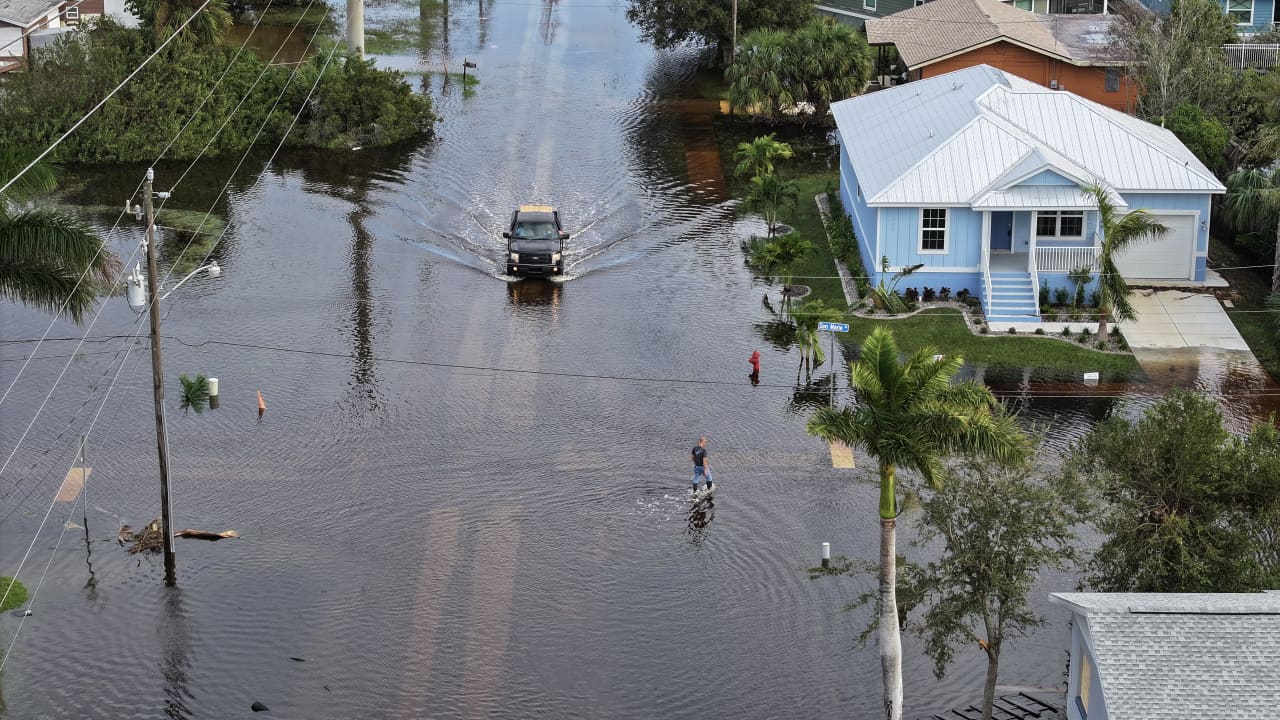
The Federal Emergency Management Agency (FEMA) redrew flood maps across the United States during the summer, a revision that is projected to lead to increased housing costs for numerous homeowners. These updated maps have designated new areas as high-risk flood zones, a change that directly impacts flood insurance premiums. Homeowners residing in these newly identified zones are now likely to face higher bills for their flood insurance policies. This initiative by FEMA is part of its ongoing effort to accurately assess and communicate flood risks nationwide. The agency's flood maps are critical tools used by insurance companies to determine policy rates and by communities to guide development and mitigation efforts. The revisions consider factors such as historical flood data, rainfall patterns, and projected sea-level rise, aiming to provide a more current and precise representation of flood hazards. The National Flood Insurance Program (NFIP), administered by FEMA, is the primary source of flood insurance for many properties in the United States. The program's pricing structure is influenced by the flood risk designation of a property. When a property is moved from a lower-risk zone to a higher-risk zone, the cost of flood insurance typically increases significantly. This can place a substantial financial burden on homeowners, particularly those who may not have previously considered their properties to be at high risk. The NFIP has undergone reforms in recent years, including the implementation of a new risk rating methodology called Risk Rating 2.0. This methodology aims to ensure that premiums more accurately reflect the true flood risk of individual properties, moving away from a system that previously subsidized rates for many homeowners. The updated flood maps are a key component of this broader effort to align insurance costs with actual risk. Homeowners affected by these map changes may have several options, including purchasing flood insurance, appealing the map designation if they believe it is inaccurate, or undertaking mitigation measures to reduce their property's flood risk. However, the immediate consequence for many will be an adjustment to their annual housing expenses. The scale of the impact is significant, with potentially thousands of households experiencing these increased costs. FEMA's mapping process is a continuous one, with maps being updated periodically to reflect changes in the environment and development patterns. These updates are crucial for informed decision-making by both individuals and communities regarding flood preparedness and insurance coverage.
Original source — read the full reporting at the publisher:
Read on MarketWatchGet the weekly AI digest
AI news + new model releases, weekly. Drafted by our agents, reviewed by humans.