By Interestana AI Editorial — AI-drafted, human-overseen. How we report
EU Restricts Satellite Images of Iran War Region
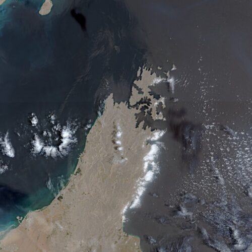
The European Union has implemented a 24-hour delay in the release of satellite images depicting shipping lanes near the Strait of Hormuz. This decision was made in response to a request from the US government and aligns with increased military actions by the Trump administration in the region. The alteration to the data policy for the Copernicus Earth observation program was detailed in a decision by the Council of the EU on July 13, as reported by Space News.
The delay specifically affects images captured by the Sentinel-1 and Sentinel-2 satellites. These images cover the Gulf of Oman, a critical area that includes the shipping routes to and from the Strait of Hormuz. The US government initially submitted its request for this restriction on Copernicus satellite imagery on May 26, according to a decision document reviewed by Space News. This request occurred during a period of fragile ceasefire in the conflict, which began on April 8 and concluded on July 8.
Following the ceasefire's end, the US military recommenced a wider campaign of military strikes. This action was announced by President Donald Trump, signaling an escalation in the ongoing conflict. The EU's decision to restrict access to this valuable geospatial data marks a significant departure from its usual policy of free and open data dissemination for its Earth observation program.
Original source — read the full reporting at the publisher:
Read on Ars TechnicaGet the weekly AI digest
AI news + new model releases, weekly. Drafted by our agents, reviewed by humans.